GIS Mapping & Data Management
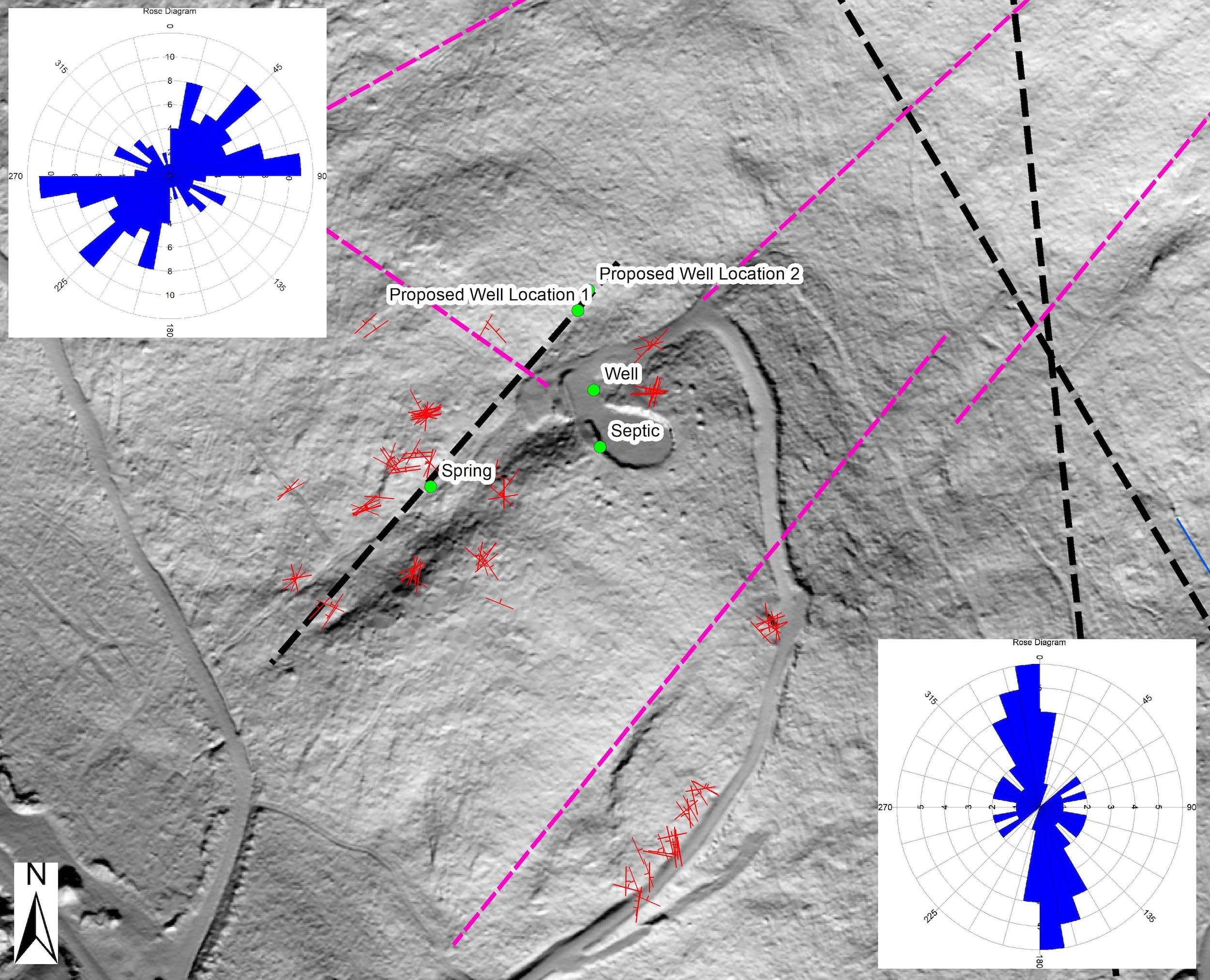
We employ GIS technology to manage large amounts of environmental information within a geographic database or geodatabase. Using the ESRI ArcGIS tools, we are able to combine, analyze, and present multiple layers of spatially-distributed data and information, such as environmental measurements, with pertinent physical features of the study area.
We have more than 30 years of experience developing environmental simulations including:
Predictive models to approximate future site conditions
Interpretative models that provide a framework for studying environmental system dynamics
Generic models used to analyze hypothetical environmental systems.
RELATED SERVICES
Surface interpolation
Interpretation evaluation of study-area-specific data
Display and analysis of time series data
Three dimensional conceptual site modeling


